Old French Maps
Just as the French Heritage Corridor’s interactive map helps orient us to the resources available within the region of the Corridor, maps made by the early French explorers and settlers helped them to highlight important features of this territory.
The maps changed through time, as the French became more familiar with the terrain of the pays d’en haut and the pays des Illinois, and as they chose what characteristics to feature on these visual representations of la Nouvelle France. Looking at those maps helps us to understand which geographical landmarks and waterways were important to them. It also helps us to see how they chose to indicate the original residents of the region: the Native peoples on whom they depended.
The following activities can be used by classroom teachers–especially teachers of French–or by the general public to facilitate an exploration of these early maps and what they tell us about the French encounter of North America and its Indigenous people.
Click on the link below to discover French maps published in the 1600s and 1700s. What kinds of information are included on these maps?
Cliquez sur le lien ci-dessous pour découvrir des cartes anciennes et des activités en français. Quels types d’information s’y trouvent?
More Maps to Explore
Explore the following maps here or, even better, through their images presented online (click on the name of the institution that holds the map).
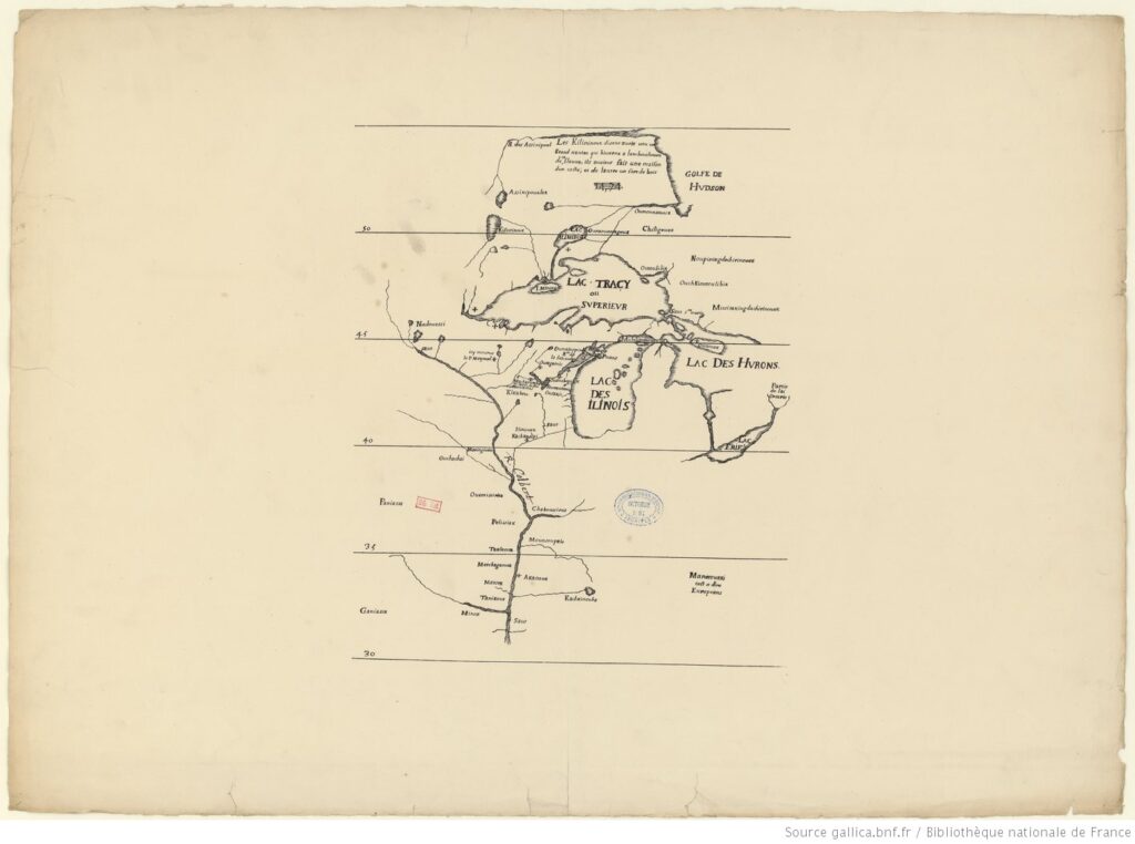
Louis Jolliet, Carte des Lacs Tracy ou supérieur, Lac des Illinois, etc., 1679 (Bibliothèque nationale de France)
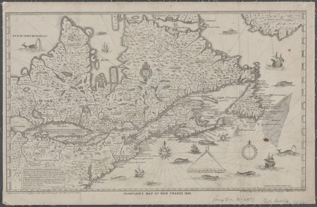
Samuel de Champlain’s Map of New France, 1632 (New York Public Library)
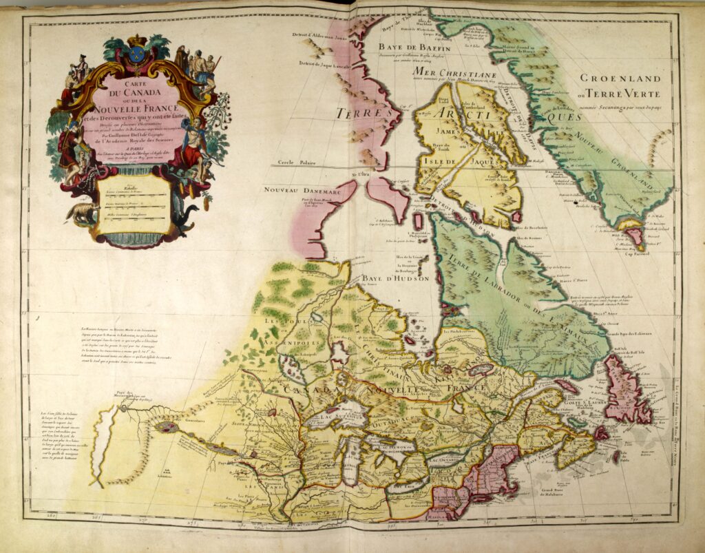
Guillaume De l’Isle, Carte du Canada ou de la Nouvelle France et des découvertes qui y ont été faites, 1703 (Bibliothèque et Archives nationales du Québec)
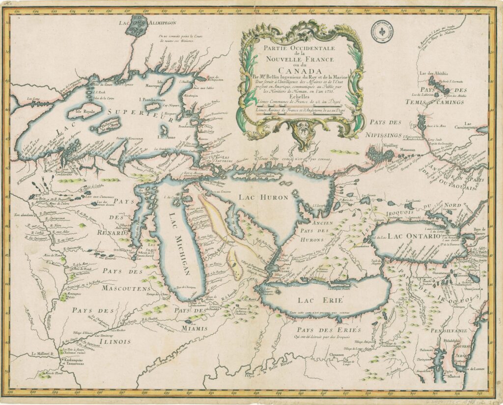
Jacques-Nicolas Bellin, Partie occidentale de la Nouvelle France ou du Canada, 1755 (Library of Congress)
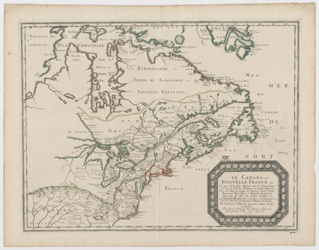
Nicolas Sanson, Canada, ou Nouvelle France, &c., 1656
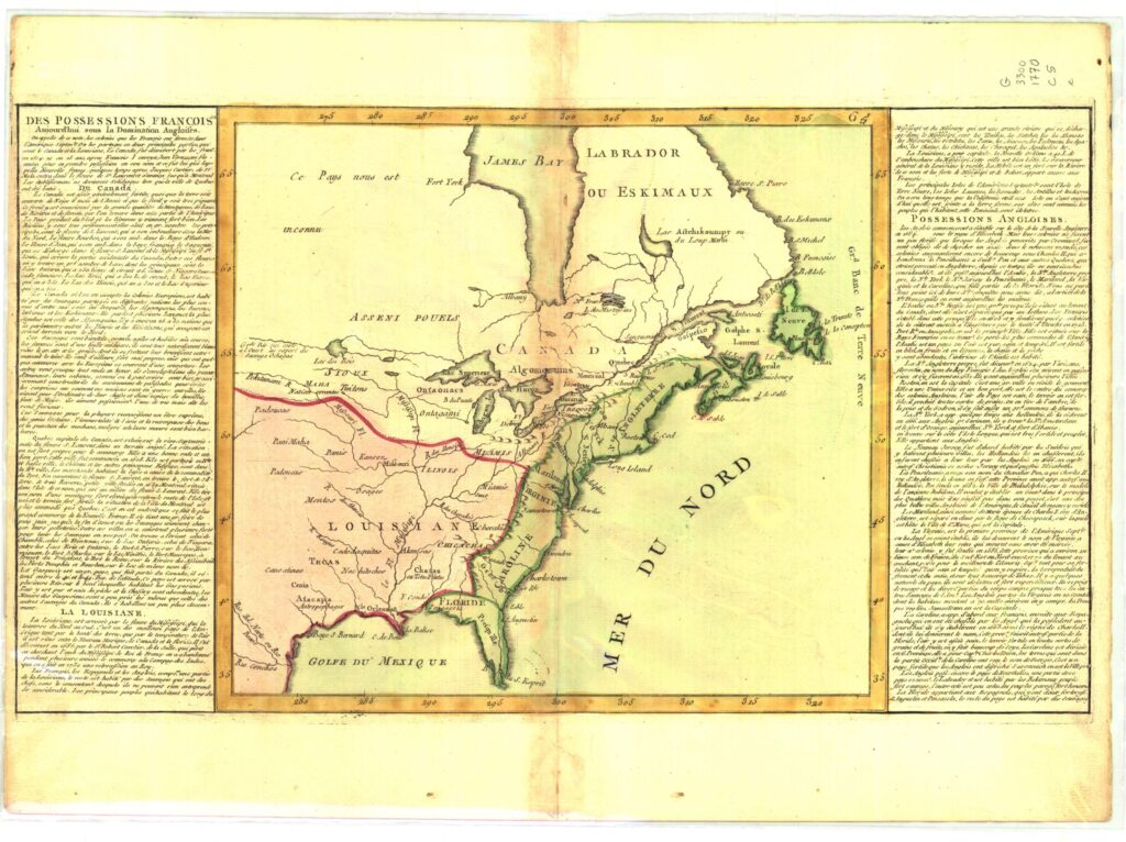
Jean-Baptiste Louis Clouet, Des possessions françoises aujourd’hui sous la domination angloises…, 1770 (Bibliothèque et Archives nationales du Québec